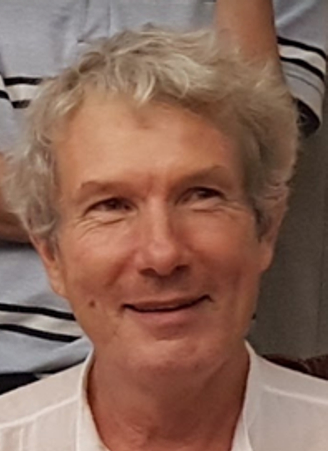
Dr. Frederic Baret received a PhD in the use of remote sensing for crop monitoring in 1986. He is currently research Director at INRAE, and invited professor at Nanjing Agricultural University. He coordinated several National and European projects. He is involved in the development of radiative transfer models at several scales (soil, leaf, canopy) and their use for the retrieval of vegetation biophysical variables. He developed retrieval algorithms (CYCLOPES, GEOV1, GEOV2, GEOV3, Sentinel-2) from satellite and airborne sensors as well as close range remote sensing. He is deeply involved in the validation of remote sensing products and chaired the CEOS/LPV working group. He recently expanded his activity on high throughput phenotyping with the development of measurement systems as well as interpretation methods. He is in charge of the development of phenotyping methods in field conditions within the French Plant Phenotyping Network (PHENOME www.phenome-emphasis.fr) project. This includes the application of IoTs (sensors on fixed positions), phenomobiles (fully automatic robot rover) as well as the development of drone observations. He authored more than 255 research papers (h=61 from WoK).
Ingénieur Régional, Arvalis Gréoux, 1981-1984
PhD, Université Paris-Sud, Orsay, 1985-1986
Chargé de Recherches, INRA Avignon, 1986-1995
Directeur de Recherches, INRA Avignon, 1995-present
Invited Professor, Nanjing Agricultural University, 2018-present.
Keynote presentation: Accessing Traits from Satellite to Close Range Phenotyping: a Change of Paradigm.
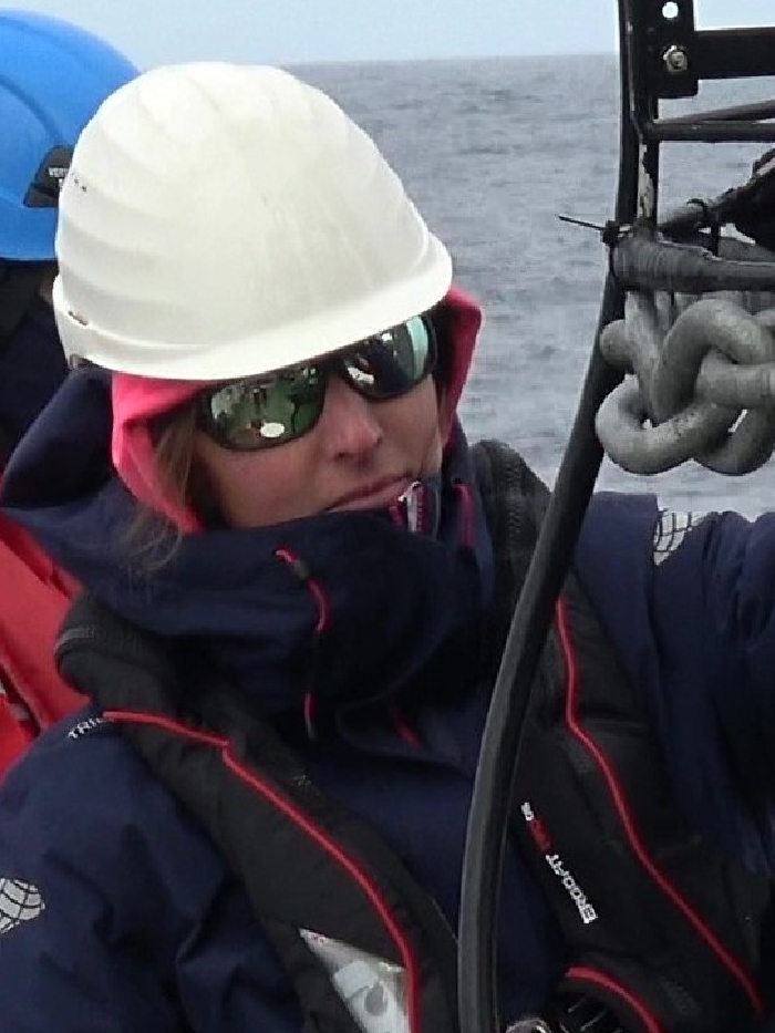
Dr. Elisabetta Canuti – Scientific and Technical Officer of the Water and Marine Resources Unit, Directorate for Sustainable Resources Joint Research Centre, European Commission. She received the M.Sc. degree in chemical engineer in 2000 and joined the Institute for Sustainability, Joint Research Center. In her research, she focuses on analytical methods development in support to marine water quality monitoring and validation of remote sensing products. Currently, and within the framework of the EU Copernicus program, she is coordinating a series of round robin exercises on HPLC methods for phytoplankton pigments determination in support to validation of Sentinel-3 marine data products.
Keynote presentation: Overview Of HPLC Phytoplankton Pigments Intercomparisons (HIPs) Organized In Support To Satellite Data Validation Activities.
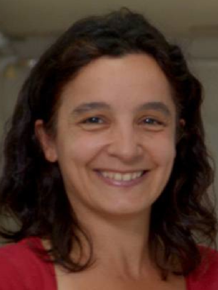
Dr. Ana I. Dogliotti is the head of the Marine Division of the Quantitative
Remote Sensing Group at the Institute of Astronomy and Space Physics
(IAFE) in Buenos Aires, Argentina. She’s started working in ocean color
remote sensing studying phytoplankton ecology and its distribution in
the Argentinean Sea. She worked as a postdoctoral researcher at the Río
Grande Federal University (FURG) in Brazil (2008) and at the Royal
Belgian Institute of Natural Science (RBINS) in Belgium (2011) where she
specialized in optically complex turbid waters. Since 2012 she is
researcher at the National Research Council for Sciences (CONICET) in
Argentina. Her research interests include developing algorithms and
applications using ocean color technologies for water quality monitoring
in lakes, estuaries, and the ocean. She carries on activities like
satellite products validation (using field-based optical instruments and
satellite remote sensing data), evaluation of atmospheric correction
algorithms and development of bio-optical algorithms to evaluate and
improve satellite-derived products in the Argentine Sea and particularly
in the optically complex turbid waters of Río de la Plata in Argentina.
Her more recent research focuses on detecting and quantifying
cyanobacteria dominated coastal and in-land waters using remote sensing
data.
Keynote presentation: Multi- and Hyperspectral Remote Sensing Applications in Highly Turbid Coastal Waters: Challenges and Opportunities.
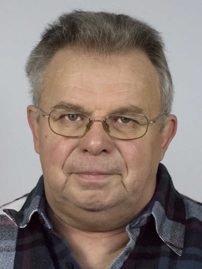
Prof. Rudi Goossens – Professor of Remote Sensing – Geography Department of the Ghent University – Belgium. Former Vice-President and President of EARSeL. Actuel field of interest: 3D remote sensing and applications in archeology and heritage documentation.
Keynote presentation: A decade of drone remote sensing: smaller areas in more detail.
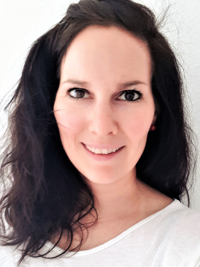
Dr. Valerie Graw – Postdoctoral Researcher in the Geomatics Research Group of the Ruhr University Bochum. In her research, she focuses on the inter- and transdisciplinary use of Earth Observation based tools and methods to support local to national decision making. Disaster Risk Monitoring is part of her key expertise where she embeds time series analysis across scale to identify space based information techniques and tools to support national Disaster Risk Management. Developed applications address rural and urban areas in Sub-Saharan Africa, threatened ecosystems in South America as well as indigenous communities in the Amazon aiming at the understanding of coupled socio-ecological dynamics with spatio-temporal monitoring to leave no one behind on the way to sustainability.
Keynote presentation: Measure To Manage – Earth Observation based Monitoring of Complex Systems to Guide Sustainability.
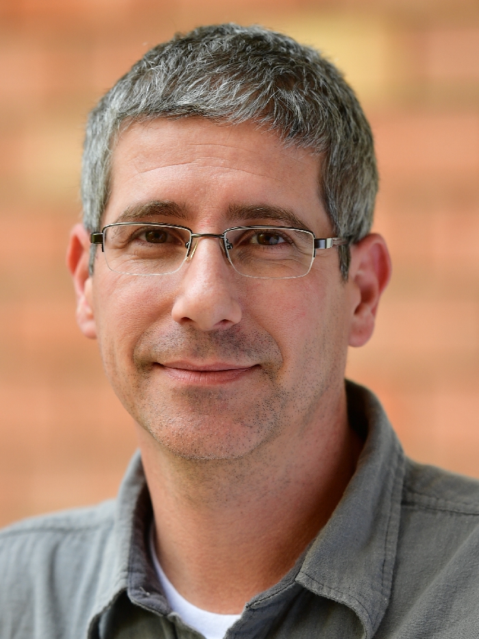
Dr. Ittai Herrmann – founder of the Plant Sensing Laboratory (PSL-2018) in the Faculty of Agriculture, Food and Environment, The Hebrew University of Jerusalem. His research focuses on spectral sensing of vegetation in commercial fields, breeding plots and in semi-controlled environments. The main current projects include morpho-physiological plant traits non-destructive phenotyping by spaceborne, airborne and ground level sensors with the motivation to increase crop productivity and reduce the environmental footprint.
Keynote presentation: Can we assess what we do not see? spectral sensing of vegetation.
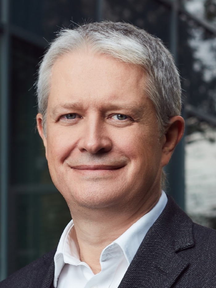
Dr. Maciej Krzyżanowski is the President and Chief Executive Officer of CloudFerro company. Maciej has many years of experience in the ICT sector, where he hold executive positions at firms, such as TDC Internet Polska and Internet Data Systems S.A. As the president of ATM S.A., he led the company to achieve a strong position on the European data center market. Maciej graduated from the Faculty of Physics at the University of Warsaw and holds a doctoral degree in particle physics.
Keynote presentation: Earth observation data access and processing in the cloud – new approach for scientific applications.
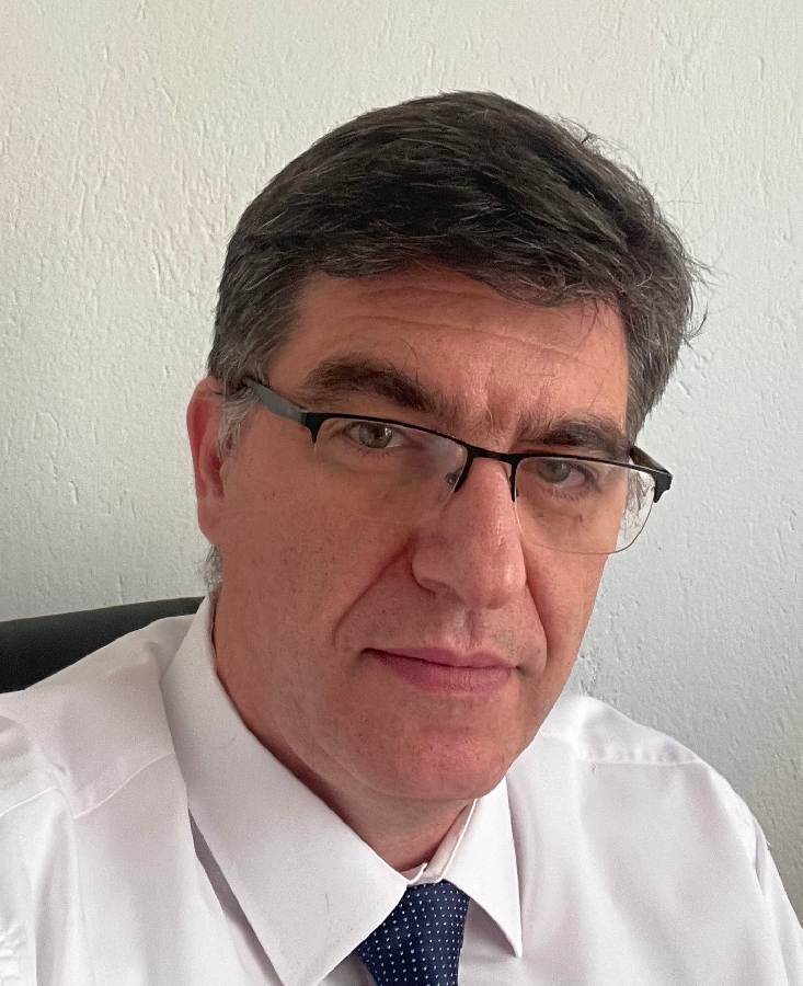
Dr. Ioannis Manakos is a Principal Researcher at the Information Technologies Institute of the Centre for Research and Technology Hellas (CERTH/ITI) since 2012. He has worked for 7 years as the Head of the Department of Geoinformation in Environmental Management at the International Centre for Advanced Mediterranean Agronomic Studies (CIHEAM) at the Mediterranean Agronomic Institute of Chania (still an Adjunct Professor there). He carried out his PhD in Forestry at the Technical University of Munich. He has coordinated or participated in more than 45 European and National research and development projects under various funding frameworks (incl. FP6, FP7, H2020). Among others, and within the recently completed BIO_SOS FP7 Space, H2020 ECOPOTENTIAL, and ongoing H2020 E-SHAPE, SnapEarth, EOTiST, Nextland, and WQeMS projects, he developed and applies Earth Observation online data services’ modules and open data cubes for the calculation of Essential Variables related to Environmental Monitoring on land and water. He chaired the European Association of Remote Sensing Laboratories (EARSeL) from 2012 till 2014. He is the active Chairman of the Special Interest Group ‘RS in Land Use & Land Cover’ of the EARSeL. He serves as an active contributing member to the GEO Global Ecosystem Initiative (GEO ECO) and in the new Ecosystem Function Working Group (ECOFUN) of the GEO Biodiversity Observation Network Flagship (GEOBON) within the Group on Earth Observations. His activity is also recognized at the newly established Mediterranean Regional Information Network (MedRIN) and the South Central and Eastern European Regional Information Network (SCERIN) of the GOFC-GOLD (Global Observation of Forest and Land Cover Dynamics) and GTOS (Global Terrestrial Observing System), where he serves as Lead in relation with the evaluation of the Global Land Cover Maps. He is also an active collaborator of the NASA LCLUC Program and member in the Copernicus Academy.
Keynote presentation: Earth Observation Data for Ecosystem Monitoring tool: an integrator of geospatial data towards policy implementation.
Dr. Salvatore Marullo – Physical oceanographer of the Laboratory Climate Modelling Italian National Agency for New Technologies, Energy and Sustainable Economic Development with nearly 40 year of experience in satellite oceanography and air-sea interaction. In January 1985 he started working on satellite oceanography at the ESA in Darmstadt. From 1986 to 1992 he worked at Telespazio as coordinator of the oceanographic group. Since 1992, Dr. Marullo has had a permanent position at ENEA as senior scientist working on satellite oceanography (Laboratory Climate Modelling). He was P.I. or co-investigator of many European and national Projects and has worked on development of Level 4 SST products and SST diurnal variability in the framework of CMEMS (the Copernicus Marine Service). He his member GHRSST (Group for High Resolution Sea Surface Temperature Science Team), Science Team and was chair EARSeL Special Interest Group on remote sensing of the coastal zone.
Actually, he is involved in a Copernicus Climate Service project funded by ECMWF as scientific responsible for all the ENEA activities including Ocean Color CCI and SST/Ocean Heat Content data assessment. He is author or co-author of more than 90 publications in the internationally referred literature.
Keynote presentation: Assessment of ocean color products in the framework of the Copernicus Climate Change Service.
Dr. Martin A. Montes has a multidisciplinary background with degrees in Marine Ecology and Physical Oceanography. He was a professor in remote sensing at the University of Quebec and he is presently supporting the scientific data science segment of the NASA mission PACE (Plankton, Aerosol, Cloud, ocean Ecosystem) at Goddard Space Flight Center. His career has been focused in developing optical remote sensing models for understanding how climate-mediated changes affect carbon cycle components and their dynamics in oceanic and coastal waters. His experience with oceanographic LiDAR began in 2002 working with a LiDAR NOAA team for detecting ecosystem changes in Alaskan fisheries due to local climate perturbations. Since then, he has been involved in numerous LiDAR projects across the world and related to the detection and modeling of scatterers using airborne, spaceborne and in situ systems. Current research interests make emphasis on backscattering LiDAR measurements applied to machine learning and retrieval of biogeo-optical properties in aquatic environments, characterization of continental aerosols and identification of harmful algae blooms. Montes has more than 55 peer-reviewed publications including two book chapters. He is an active scientist of the LIDAR community by participating as an editor of high impact journals and chair/organizer in several international conferences.
Keynote presentation: Future Applications of Spaceborne LiDAR in Coastal and Oceanic Waters.
Prof. Dr. Michael Rast – following studies in geology and geo-scientific remote sensing, Michael Rast joined ESA, mainly establishing mission/science requirements for Earth observation satellites. Following a research year at NASA’s JPL, he obtained a doctorate in imaging spectroscopy from space. After a secondment to the GEO Secretariat, Geneva, as Senior Programme Officer, he headed the Science Strategy Office at ESA’s Earth Observation Centre ESRIN in Frascati, Italy. In 2017, he became Senior Advisor to the Director of Earth Observation Programmes. He also holds a professorship for terrestrial remote sensing at the Department for Geography of the Ludwig-Maximilians University, Munich.
Keynote presentation: ESA’s Earth Observation Programme today and looking forward.
Jun. Prof. Dr. Andreas Rienow – Juniorprofessor in Interdisciplinary Geographic Information Science at the Institute of Geography, Ruhr University Bochum. His work focuses on the spatio-temporal modelling of processes and patterns of urban land-use change, the interdisciplinary integration of remote sensing and additive geodata as well as the analysis of (near-real-time) geoinformation. Associated is the exploration of VGI and citizen science adding value to the monitoring of human-environment interactions within metropolitan regions. He is principal investigator for the projects KEPLER ISS, CITGI4Muringato, ESERO Germany and coordinating part of the international remote sensing education collaborations EO CONNECT and MOOC4Land.
Keynote presentation: Citizens meet Sensors – Application of Earth Observation for Sustainability Literacy.
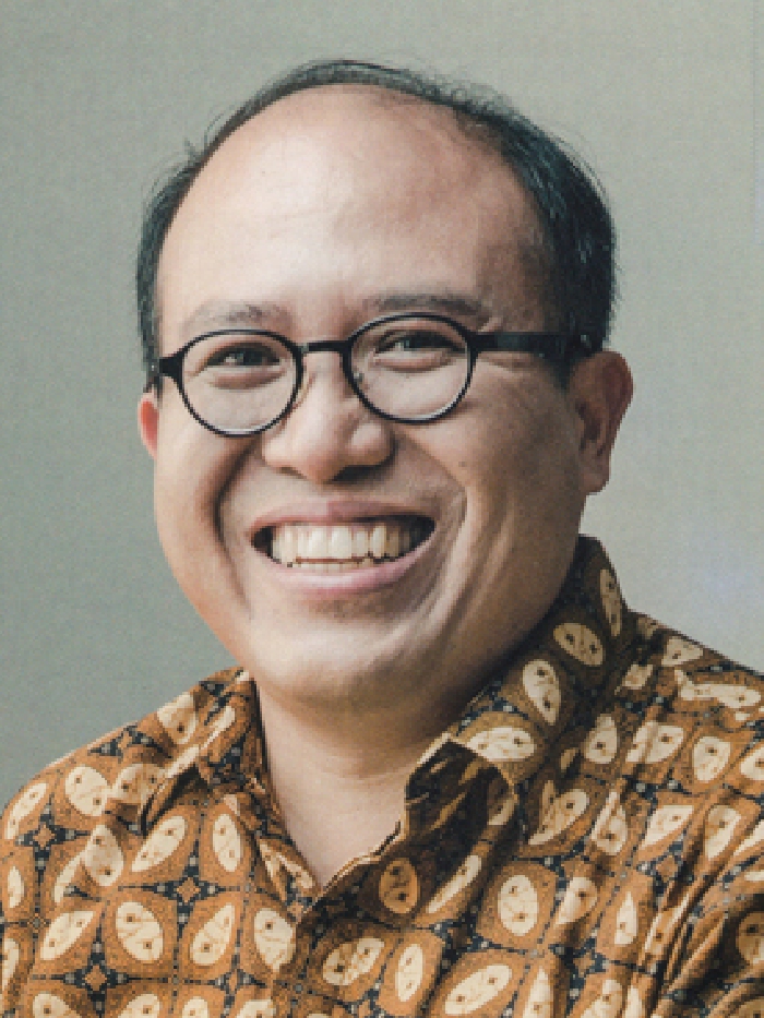
Prof. Josaphat Tetuko Sri Sumantyo – Professor of the Center for Environmental Remote Sensing, Chiba University Josaphat Tetuko Sri Sumantyo received the B.Eng and M.Eng degrees in Electrical and Computer Engineering from Kanazawa University, Japan in 1995 and 1997, respectively (Subsurface Radar Systems) and the Ph.D degree in Artificial System Sciences (Applied Radio Wave and Radar Systems) from Chiba University, Japan in 2002. He was with the Center for Frontier Electronics and Photonics (Venture Business Laboratory), Chiba University, Japan as a Lecturer (Post Doctoral Fellowship Researcher) from 2002 to 2005. He was an Associate Professor (permanent staff) at the Center for Environmental Remote Sensing (CEReS), Chiba University from 2005 to 2013, then Full Professor (permanent staff) at the same center from 2013 to now. He is also a Full Professor at Department of Electrical Engineering, Faculty of Engineering, Universitas Sebelas Maret, Indonesia. His main interests are theoretically scattering microwave analysis and its applications in microwave (radar) remote sensing, especially synthetic aperture radar (SAR) and subsurface radar (VLF) including InSAR, DInSAR, PS-InSAR and Polarimetric SAR, analysis and design of antennas for mobile satellite communications and microwave sensors, development of microwave sensors including various polarized SAR sensor for Unmanned Aerial Vehicle (UAV, drone), aircraft, stratosphere platform, and microsatellite development. He is a Member of the IEEE, IEICE, JSPRS, and RSSJ. He is the recipient of many awards and research grants related to his study and research, and he published twelve books and more than 700 papers in journals, conferences, invited talks, and reports. He established Symposium on Microsatellite for Remote Sensing, Indonesia Japan Joint Scientific Symposium, and Workshop on Synthetic Aperture Radar Image Processing etc to promote the IEEE activities on Microwave Remote Sensing at Asian countries. He is General Chair of IEEE GRSS supported The 7th Asia-Pacific Conference on Synthetic Aperture Radar (APSAR 2021) at Bali, Indonesia and more than 200 Invited Talks and Lectures related synthetic aperture radar and its applications. He is co-leader of Working Group on Remote Sensing Instrumentation and Technologies for Unmanned Aerial Vehicles of IEEE GRSS, Technical Committee on Instrumentation and Future Technologies (IFT-TC).
Keynote presentation: Development of Advanced Microwave Remote Sensor for Urban Disaster Monitoring.
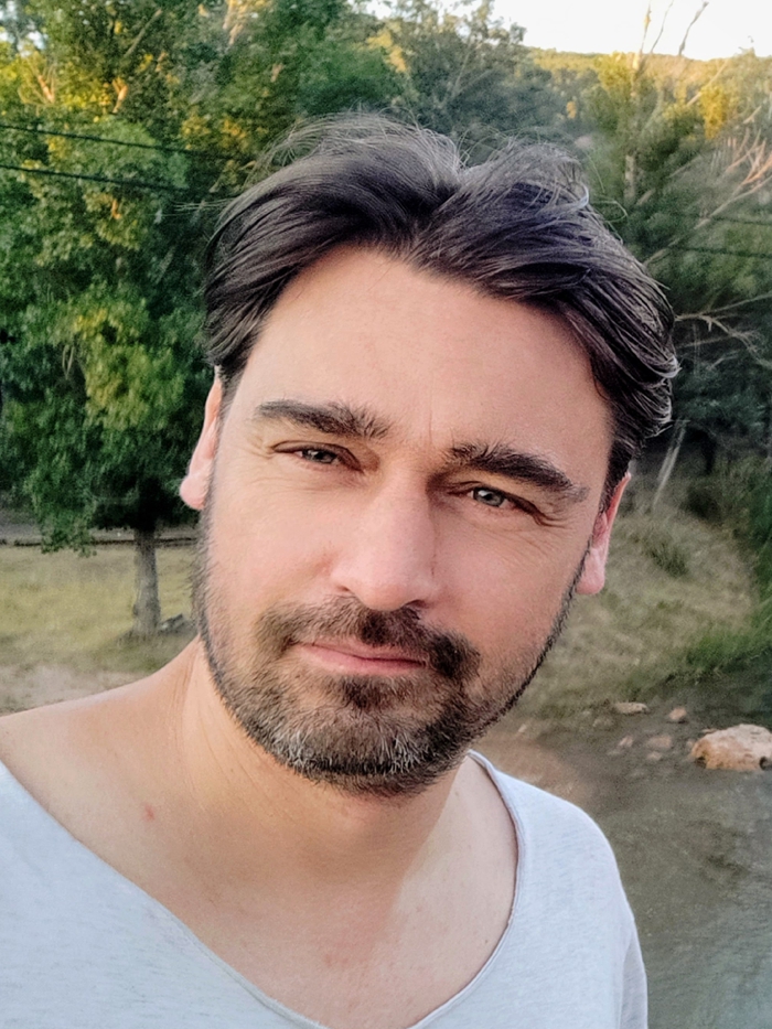
Dr. Ir. Jochem Verrelst – staff member of the Laboratory for Earth Observation (LEO), Image Processing Laboratory (IPL), University of Valencia. He received the M.Sc. degree in tropical land use and in geo-information science both in 2005 and the Ph.D. in remote sensing in 2010 from Wageningen University, Wageningen, Netherlands. His dissertation focused on the space-borne spectrodirectional estimation of forest properties. Since 2010, he has been involved in preparatory activities of FLEX. His research interests include retrieval of vegetation properties using airborne and satellite data, canopy radiative transfer modeling and emulation, and hyperspectral data analysis. He is the founder of the ARTMO software package. In 2017 he received a H2020 ERC Starting Grant (\#755617) to work on the development of vegetation products based on synergy of FLEX and Sentinel-3 data (/https://ipl.uv.es/sentiflex/). He is also the co-chair of the SENSECO Cost Action (CA17134) that focuses on optical synergies for spatiotemporal sensing of scalable ecophysiological traits (https://www.senseco.eu/).
Keynote presentation: Progress in hybrid models for applications in remote sensing of vegetation.


