The Global South is challenged by rapid transformations coupled with crises, impacting natural habitats, rural, peri-urban, and urban areas. The newly emerging and existing human settlements exhibit varying degrees of inequalities in terms of living qualities, such as environmental deprivation, or lacking access
to basic infrastructure and essential services. In the context of climate change, environmental conditions can have increasingly severe impacts on living conditions and health outcomes. To adequately monitor these transformations, crises, and inequalities, timely and spatially disaggregated data are essential but often not available. Earth Observation (EO) data can provide immense opportunities for monitoring these challenges, but advancements in technical developments are hindered but various unsolved questions. First, EO data need to be provided with sufficient spatial and temporal granularity. Second, the development of innovative, transferable, and scalable mapping approaches, both with respect to the methods and data, is imperative. Third, FAIR (Findability, Accessibility, Interoperability, and Reusability) data standards are important to support easy access and exchange of data and methods. Fourth, EO-based approaches need to be integrated with bottom-up approaches (e.g., to co-create and integrate citizen science data).
The workshop will allow researchers to exchange on the state-of-the-art EO methods to analyze transformation, crises and inequalities in the Global South (e.g., environmental risk, hazards, urbanization, demographic and socio-economic conditions, conservation, and agriculture) while enabling their integration for evidence-based policy-making (e.g., SDGs).
List of topics
- Mapping the dynamics and complexity (e.g., 3D urban mapping) of
urban areas in the Global South - Modelling rural and/or urban poverty (inequalities, living conditions) in
the Global South - Mapping the pressure on natural resources in the Global South
- New data and methodology for EO-based solution in the Global South
- Mapping and modelling the population dynamics in the Global South
- Analysing climate (change) impacts on urban, peri-urban and rural areas
in the Global South - Analysing environmental and socio-economic inequalities in the Global
South - Analysing crises with the use of EO-based data and approaches in the
Global South - Comparisons between the Global South and Global North
Keynote Lecture: Making poverty visible – The successes and failures of remote sensing and other geodata

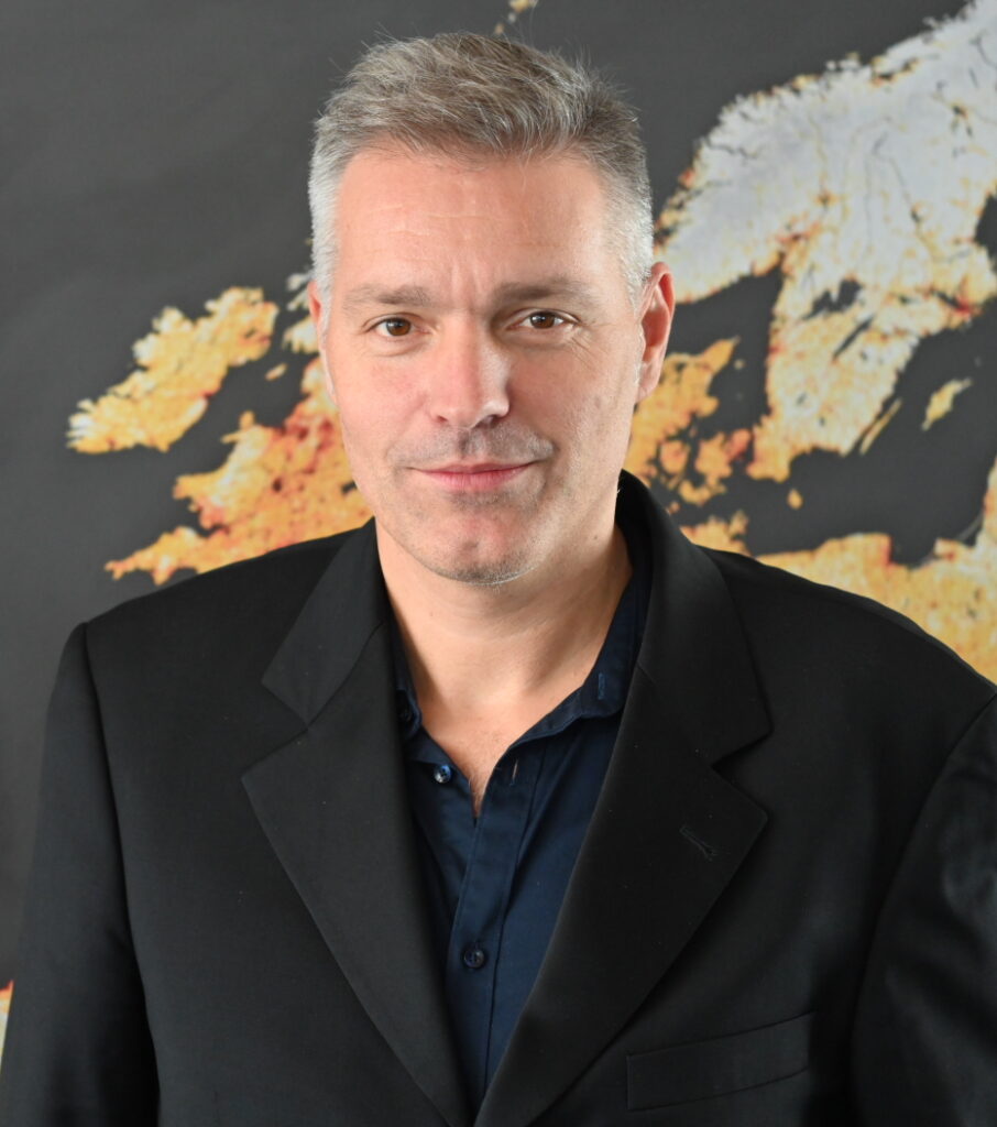
Hannes Taubenböck – German Aerospace Center (DLR) and University of Würzburg
“Because some are in the dark. And others are in the light. And you see those in the light. You don’t see the ones in the dark.” is a quote from the Mackie Messer’s Moritat from the 1928 play ‘The Threepenny Opera’ by Bertolt Brecht. This quote was just as relevant back then as it is today. Today, however, remote sensing is a data source that helps to bring more light into the darkness. Through the proxy of settlement structures of slums or comparable structures or through night-time light data the gigantic dimension of poverty becomes not only visible in remote sensing data, but also quantifiable. This keynote will show how much light remote sensing in combination with other geodata has shed on the global issue of poverty, where knowledge gaps still exist, what limitations prevent the necessary knowledge gain and where science needs to break new ground
More information about Hannes’ research here.
Scientific Committee of the Workshop
Angela Abascal, Public Universidad de Navarra, Spain
Felicia Akinyemi, Geomatics, Karlstad University, Sweden
Mariana Belgiu, ITC Faculty Geo-Information Science and Earth Observation, University of Twente, The Netherlands
Frank Canters, Department of Geography of the Vrije Universiteit Brussel, Belgium
Jasper de Vliet, Vrije Universiteit Amsterdam, The Netherlands
Caroline Gevaert, ITC Faculty Geo-Information Science and Earth Observation, University of Twente, The Netherlands
Jan Haas, Geomatics, Karlstad University, Sweden
Sebastian Hafner, Urban Big Data Centre (UBDC), University of Glasgow, Scotland
Divyani Kohli, ITC Faculty Geo-Information Science and Earth Observation, University of Twente, The Netherlands
Catherine Linard, University of Namur
Robbe Neyns , Department of Geography of the Vrije Universiteit Brussel, Belgium
Claudio Persello, ITC Faculty Geo-Information Science and Earth Observation, University of Twente, The Netherlands
Hannes Taubenbock, German Aerospace Center (DLR), German Remote Sensing Data Center (DFD), Germany
Dana Thomson, Center for Integrated Earth System Information (CIESIN), Columbia Climate School, USA
Sabine Vanhuysse, University Libre de Bruxelles, Belgium
Jiong Wang, ITC Faculty Geo-Information Science and Earth Observation, University of Twente, The Netherlands
Eleonore Wolff, University Libre de Bruxelles, Belgium
Organisers
Stefanos GEORGANOS
Geomatics Unit, Department of Environmental and Life Sciences, Karlstad
University, stefanos.georganos (at) kau.se
Monika KUFFER
Faculty of Geo-Information Science and Earth Observation (ITC) of the
University of Twente, m.kuffer (at) utwente.nl
