Drylands, encompassing arid, semi-arid and dry sub-humid ecosystems, occupy more than 40% of
the Earth’s terrestrial surface and support over two billion people. These environments are
experiencing increasing pressures from climate change, altered disturbance regimes, land-use
intensification, biodiversity loss, invasive species, water scarcity and unsustainable resource
exploitation. At the same time, global commitments such as the UN Sustainable Development Goals,
the UN Decade on Ecosystem Restoration and Land Degradation Neutrality targets have created an
urgent need for robust, scalable and operational monitoring systems capable of assessing dryland
condition, resilience and restoration outcomes.
Recent advances in Earth Observation have transformed our ability to observe dryland ecosystems
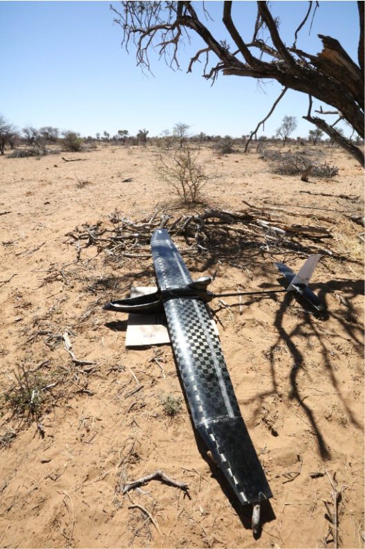
across scales. The growing availability of long-term satellite archives, very-high-resolution imagery, hyperspectral and thermal missions, SAR observations, LiDAR datasets, UAV platforms and cloud- computing infrastructures has opened new opportunities for monitoring ecosystem structure, function and trajectories of change. Furthermore, the rapid integration of artificial intelligence,
machine learning, data fusion approaches and digital twin frameworks is enabling improved
mapping, forecasting and attribution of dryland processes.
Despite these advances, substantial challenges remain. Drylands exhibit high spatial heterogeneity,
strong seasonal variability, complex vegetation-soil interactions and non-linear ecosystem responses
that can limit transferability and robustness of remote sensing applications. Key research gaps persist
in scaling observations across resolutions, detecting ecosystem tipping points, quantifying land
degradation and recovery processes, monitoring biodiversity and ecosystem services, retrieving
functional traits, and supporting evidence-based restoration and adaptation strategies.
This session welcomes contributions that advance the observation, modelling and understanding of
drylands using remote sensing and geospatial technologies. We encourage methodological, applied
and interdisciplinary studies that demonstrate innovative approaches, assess emerging datasets and
sensors, or contribute towards sustainable dryland management, restoration and climate adaptation.
List of topics
Ecosystem Dynamics and Resilience
- Dryland ecosystem resilience, thresholds and tipping points
- Vegetation dynamics and ecosystem functioning using long-term EO time series
- Drought impacts, recovery trajectories and early warning systems
- Climate change impacts on dryland ecosystems
Land Degradation and Restoration
- Desertification and land degradation assessment
- Monitoring ecosystem restoration and nature-based solutions
- Land Degradation Neutrality indicators and applications
- Restoration effectiveness and long-term ecosystem recovery
Vegetation and Biodiversity
- Species-level vegetation mapping
- Woody encroachment and shrub expansion in savannahs
- Biodiversity monitoring and habitat assessment
- Functional trait retrieval from hyperspectral and multisensor observations
- Biological soil crusts and ecosystem processes
Emerging Sensors and Data Fusion
- Hyperspectral applications in drylands
- SAR and InSAR applications in drylands
- LiDAR applications and 3D ecosystem reconstruction
- Thermal remote sensing of vegetation and water stress
- UAV and proximal sensing approaches
- Multi-sensor and multi-scale data integration
Artificial Intelligence and Modelling
- Machine learning and deep learning for dryland monitoring
- AI-assisted change detection and forecasting
- Digital twins of dryland ecosystems
- Explainable AI and uncertainty assessment
- Land-use and land-cover change modelling
Soil, Water and Geomorphology
- Soil moisture, salinity and soil health mapping
- Hydro-geomorphological processes, runoff and erosion
- Water resources monitoring in arid environments
- Dust emissions and aeolian processes
Carbon and Ecosystem Services
- Biomass and carbon stock estimation
- Carbon cycling and carbon sequestration assessment
- Ecosystem services mapping and valuation
- Climate mitigation and adaptation applications
Organizers
Dr Elias Symeonakis, Manchester Metropolitan University (MMU), e.symeonakis@mmu.ac.uk
Dr Eva Arnau, Manchester Metropolitan University (MMU), e.arnau-rosalen@mmu.ac.uk
Dr Christina Karakizi, Hellenic Space Center, Christina Karakizi chr.karakizi@gmail.com
Dr Joana Borges, Earth Systems Ltd, joana_fm2@hotmail.com